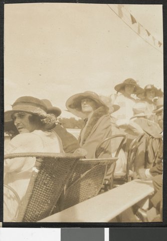
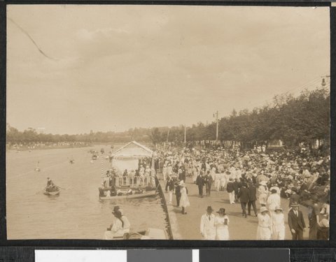
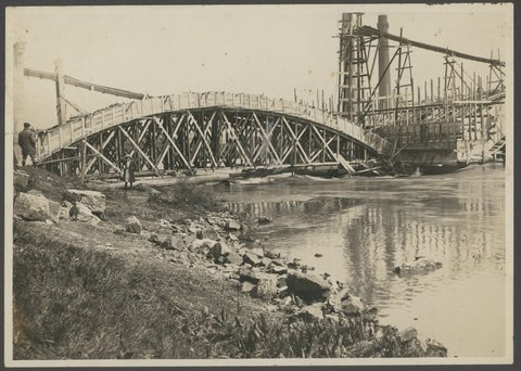
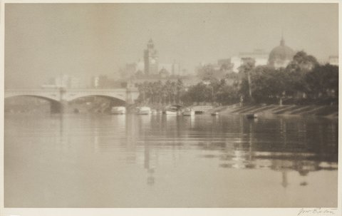
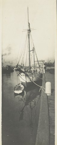
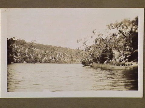
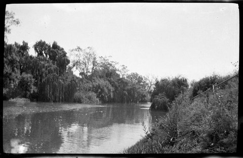
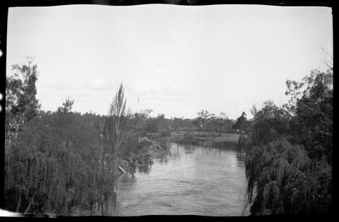
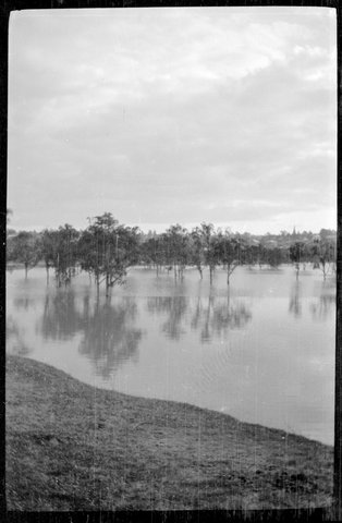
between 1917 and 1930 · Yarra River
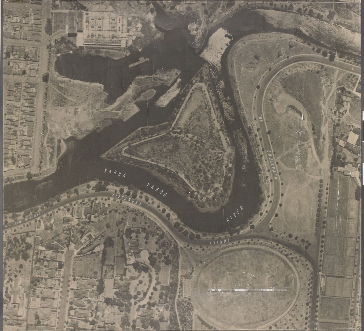
Aerial view of Yarra River and Herring Island south east of Melbourne
Click to zoom · ← → to browse · Esc to close
Melbourne/Yarra River
between 1917 and 1930·Yarra River·The 1920s
Also inMelbourne from the air
Every photo of Yarra River →