Old Melbourne
SuburbsStreets & landmarksDecades

Melbourne/Themes/

Melbourne from the air

365 photos1875–1954

1870s 1 1880s 3 1890s 6 1900s 13 1910s 16 1920s 28 1930s 59 1940s 63 1950s 176

1920s7 photos

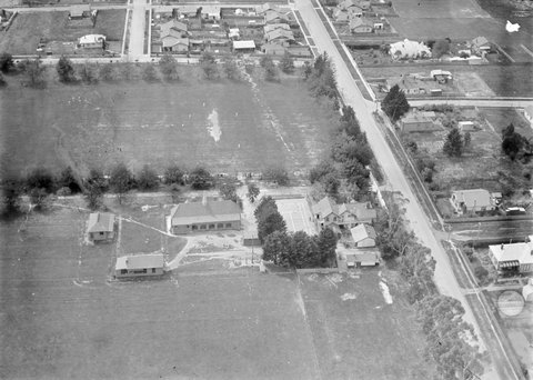
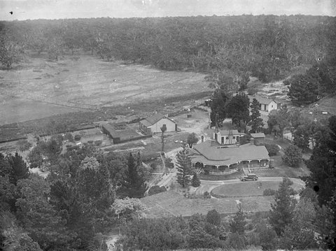
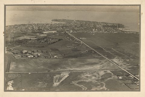
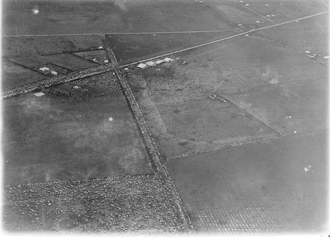
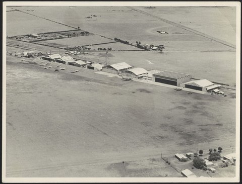
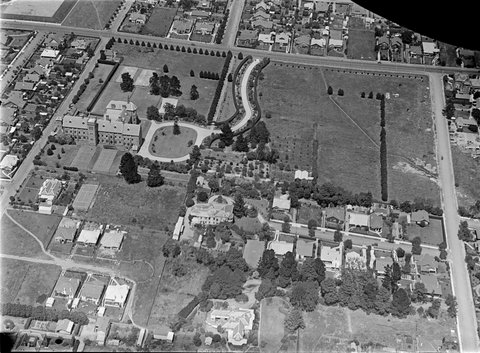
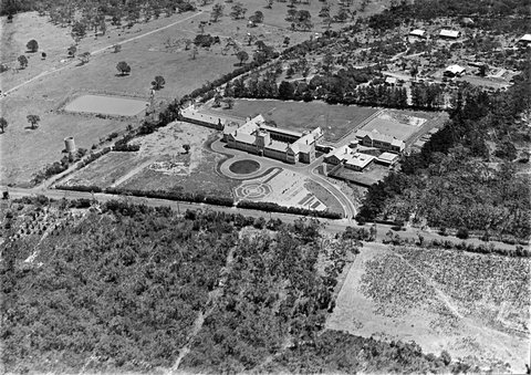
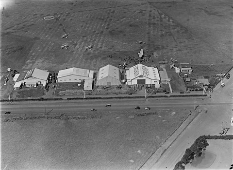
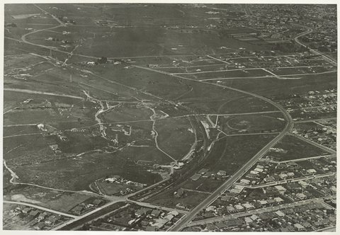
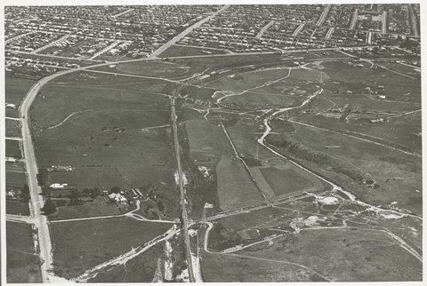
Aerial view of Prahran, 19281928Aerial view of area bound by Cotham, Mont Victor and Normanby Roads, Kew, 1928–301928–30Aerial view of Toorak College, 1928–301928–30Aerial view of Essendon Aerodrome buildings, 19291929Aerial photographs of East Malvern & Chadstone, 1929–301929–30Aerial photographs of East Malvern & Chadstone, 1929–301929–30Aerial photographs of East Malvern & Chadstone, 1929–301929–30

1930s53 photos

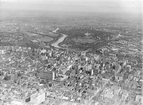
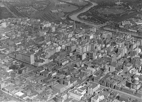
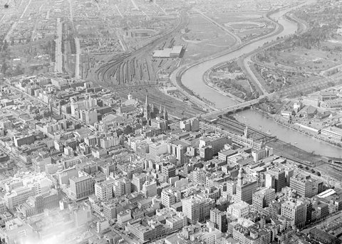
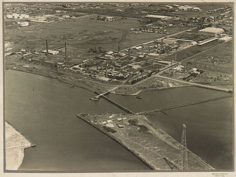
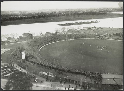
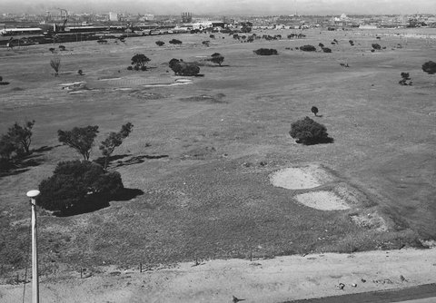
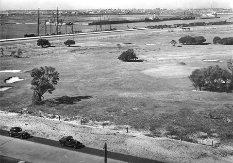
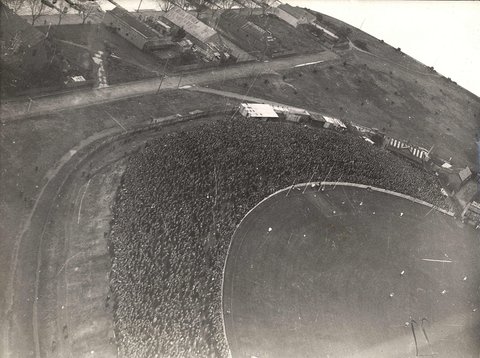
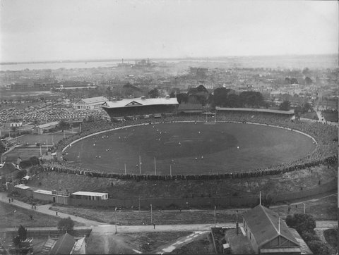
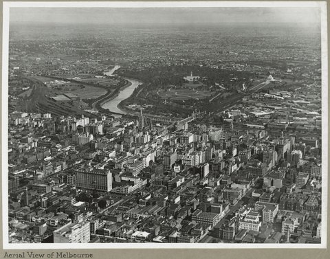
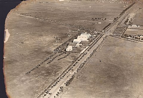
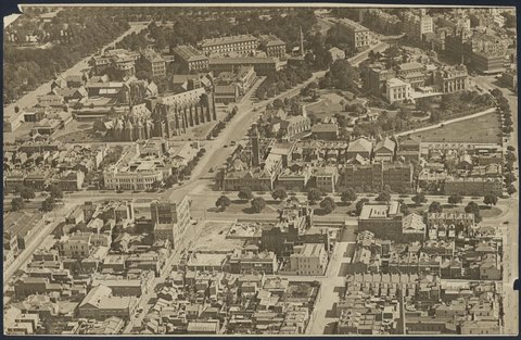
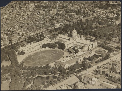
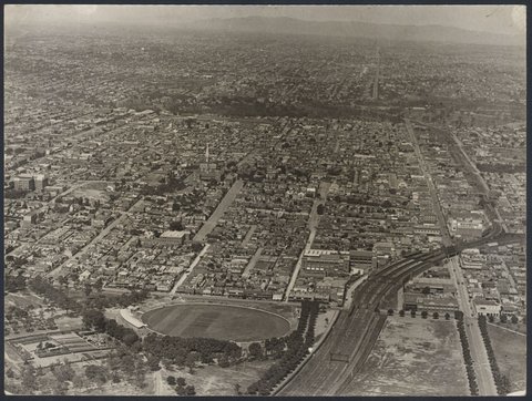
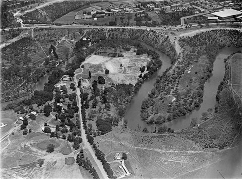
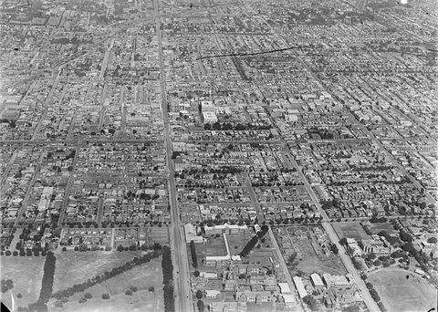
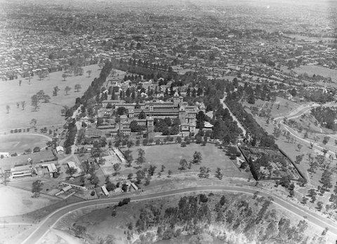
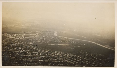
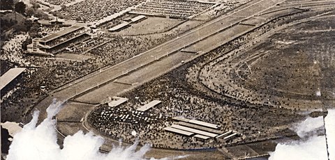
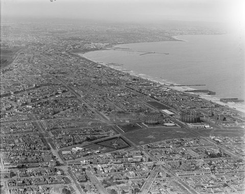
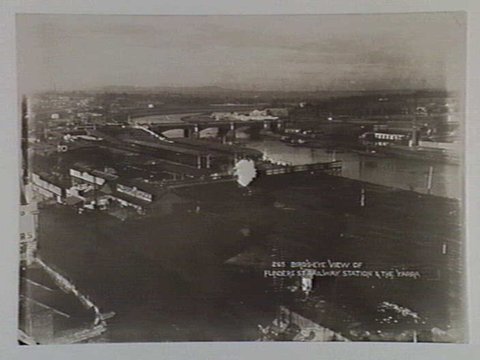
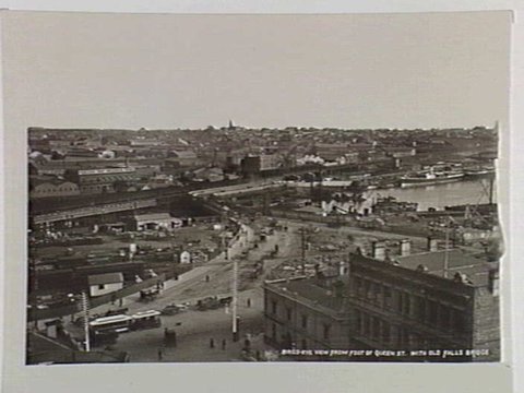
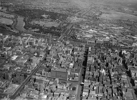
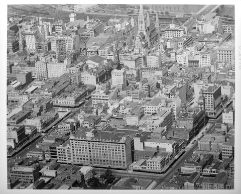
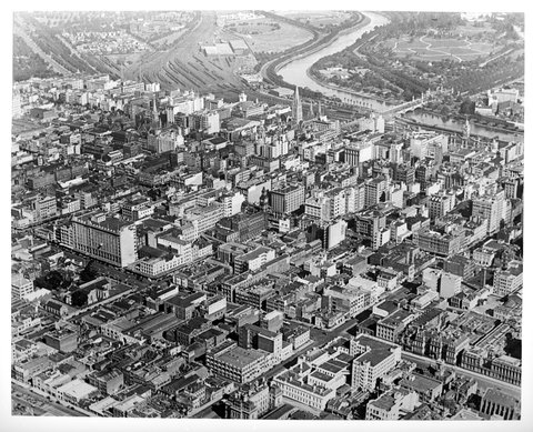
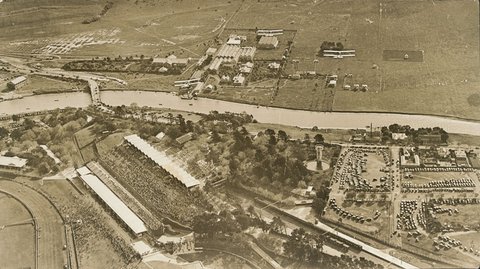
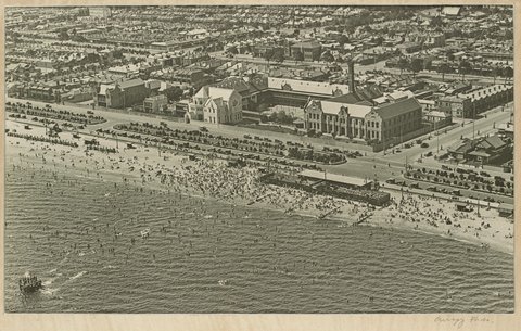
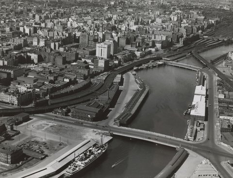
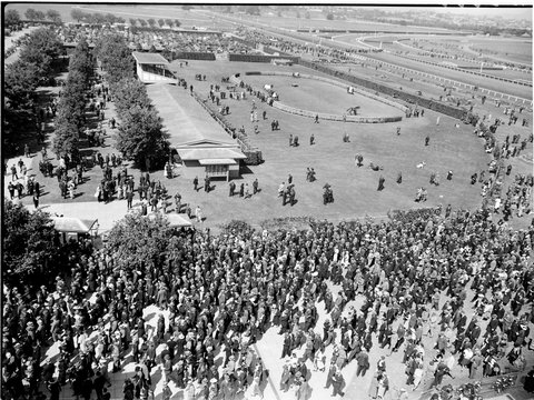
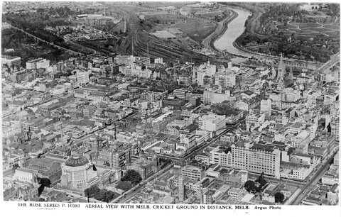
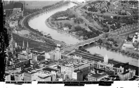
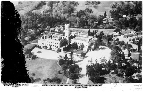
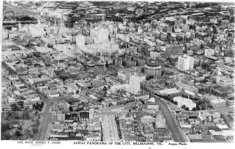
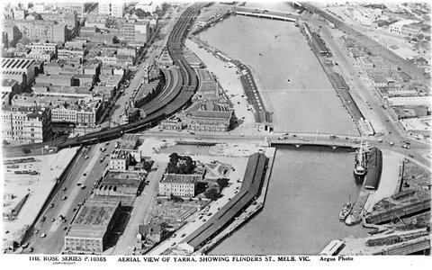
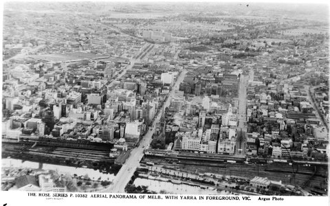
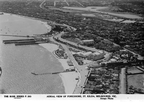
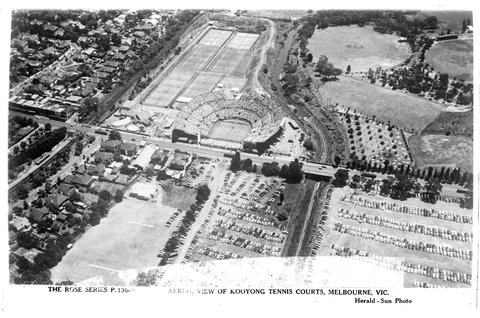
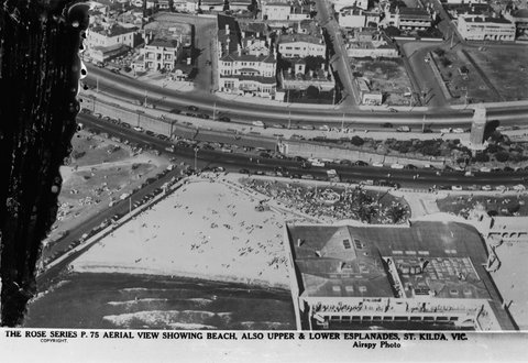
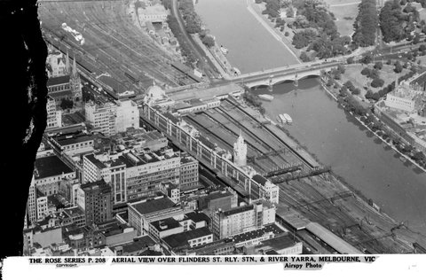
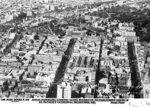
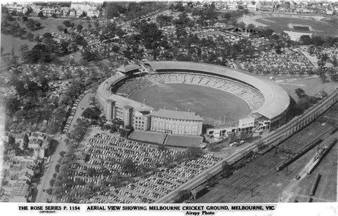
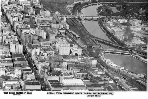
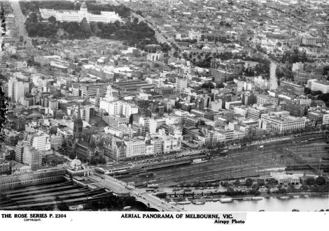
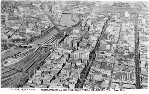
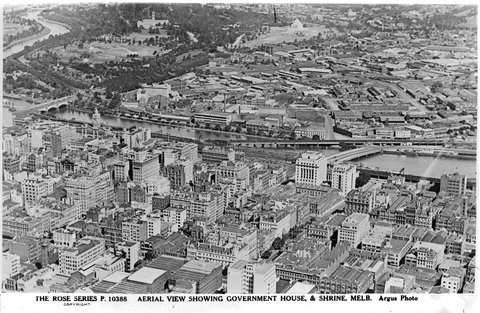
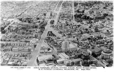
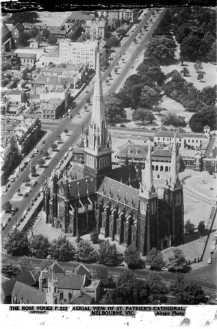
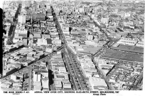
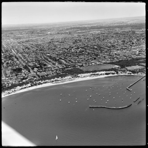
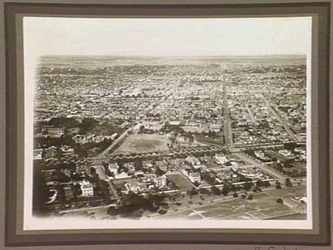
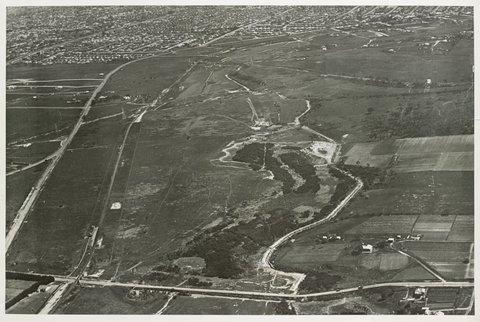
Aerial views of mansion and private home in and near Melbourne, 1927–331927–33Aerial view of the City of Melbourne, 1925–351925–35Aerial view of the City of Melbourne, 1925–351925–35Aerial view of the City of Melbourne, 1925–351925–35Aerial views of mansion and private home in and near Melbourne, c. 1930c. 1930[Aerial view of the M.M.B.W. pumping station at Spotswood, Commonwealth Oil Refineries and Australian Glass Manufacturers] / Shaw-Ross Aviation Co, 19301930Aerial view of Albert Park Lake and the South Melbourne Cricket Ground in the foreground with a football match in progress, 1920–401920–40Aerial view of Fisherman's Bend looking north-easterly towards the city of Melbourne, 1920–401920–40Aerial view of Fisherman's Bend looking north-easterly towards the docks and the city of Melbourne, 1920–401920–40Aerial view of part of the South Melbourne Cricket Ground, with football match in progress, 1920–401920–40Aerial view of South Melbourne Cricket Ground, 1920–401920–40Aerial view of Melbourne, 1925–351925–35Aerial view of Williamstown looking south-easterly, 19301930Aerial view of Essendon Airport with crowds and small aircraft, 1920–401920–40Aerial view of Essendon Airport, 15 August 1926, the day of the arrival of British aviator Alan Cobham, 1924–391924–39Aerial view of St. Vincent's Hospital, Melbourne, Victoria, 1931?1931?Aerial view of the Exhibition Buildings, Carlton, Victoria, 1931?1931?Aerial view of Richmond, Victoria, 1924–391924–39[Aerial view of the Yarra River at Fairfield, Vic.], 1925–401925–40Aerial view along Malvern Road, Prahran, 1925–401925–40Aerial view of Willsmere, Kew, 1925–401925–40Aerial view of Melbourne, 19321932Aerial view of Flemington Racecourse, Melbourne Cup day, 19321932Aerial view over Port Melbourne, looking south towards St. Kilda, 1930–371930–37Bird's-eye view of Flinders St. Railway Station & The Yarra, 19331933Birds-eye view from foot of Queen St., with old Falls Bridge, 19331933Aerial View of Melbourne, 1930s1930sAerial view of Essendon Airport, Victoria, 1930s1930sAerial view of Melbourne looking south east from above the corner of Lonsdale and Elizabeth Streets, 1935–361935–36Aerial view of Melbourne looking south east from above the corner of Lonsdale and Elizabeth Streets, 1935–361935–36Aerial view of Flemington Racecourse, 1930–401930–40Aerial view of Beaconsfield Parade, South Melbourne, 1930–401930–40Melbourne in the late 1930s. Aerial view looking North East from South Melbourne, 1936–391936–39Aerial view of the crowds at Flemington Racecourse, 1936–391936–39AERIAL VIEW WITH MELB. CRICKET GROUND IN DISTANCE, MELB. [i.e. Melbourne, Vic.], 1920–541920–54Aerial view of showing River Yarra, Prince & Swan St. Bridges, Melbourne, Vic, 1920–541920–54AERIAL VIEW OF GOVERNMENT HOUSE, MELBOURNE, VIC, 1920–541920–54Aerial panorama of the city, Melbourne, Vic, 1920–541920–54AERIAL VIEW OF YARRA, SHOWING FLINDERS ST., MELB. [i.e. Melbourne] VIC, 1920–541920–54AERIAL PANORAMA OF MELB. [i.e. Melbourne] WITH YARRA IN FOREGROUND, VIC, 1920–541920–54Aerial view of foreshore, St. Kilda, Melbourne, Vic, 1920–541920–54AERIAL VIEW OF KOOYONG TENNIS COURTS, MELBOURNE, VIC, 1920–541920–54Aerial View, Showing Beach, Also Upper And Lower Esplanades, St. Kilda. Vic, 1920–541920–54Aerial View Over Flinders St. Rly Stn. I.E. Railway Station, & River Yarra, Melbourne, Vic, 1920–541920–54Aerial Panorama Looking Along Bourke St. To Parliament House & St. Patrick's Cathedral, Melbourne , Vic, 1920–541920–54Aerial View Showing Melbourne Cricket Ground, Melbourne, Vic, 1920–541920–54Aerial View Showing River Yarra, Melbourne, Vic, 1920–541920–54Aerial Panorama Of Melbourne, Vic, 1920–541920–54AERIAL PANORAMA SHOWING YARRA, MELBOURNE, VIC, 1920–541920–54AERIAL VIEW SHOWING GOVERNMENT HOUSE, & SHRINE, MELB. [i.e. Melbourne], 1920–541920–54Aerial Panorama Showing Victoria Parade Police Headquarters, & St. Patrick's Cathedral, Melbourne, Vic, 1920–541920–54Aerial View Of St. Patricks' Cathedral, Melbourne, Vic, 1920–541920–54Aerial View Over City, Showing Elizabeth Street, Melbourne, Vic, 1920–541920–54
← Earlier photosPage 2 of 7Later photos →

More streets, landmarks and events →

365 historic photos for Melbourne from the air, taken between 1875 and 1954, gathered from across the suburbs by what their catalogue titles say. They span 9 decades, with the most from the 1950s (176). All are from State Library Victoria; each photo links to its original record.

Old Melbourne

Photos from State Library Victoria's copyright-free collection. Every photo carries its credit and links to its original record.

Aboriginal and Torres Strait Islander people are advised that this site may contain images of people who have died.

Corrections, or a photo you'd like taken down: info@snookmz.com

Web 0.1.1 · API —

Cookie-free, self-hosted analytics; no personal data is collected.